How airlines deal with volcanic eruptions
Volcanoes. They are something of a regular inconvenience for travellers around Asia, with the ‘ring of fire’ stretching up from the tropics above Australia, up the Asian coast past Japan and into the frozen Aleutian Islands and mainland Alaska.
Mostly these sleeping giants grumble quietly, not affecting people’s travel plans. But once in a while there is a big eruption, and those plans go up in smoke – or more accurately, a cloud of ash.
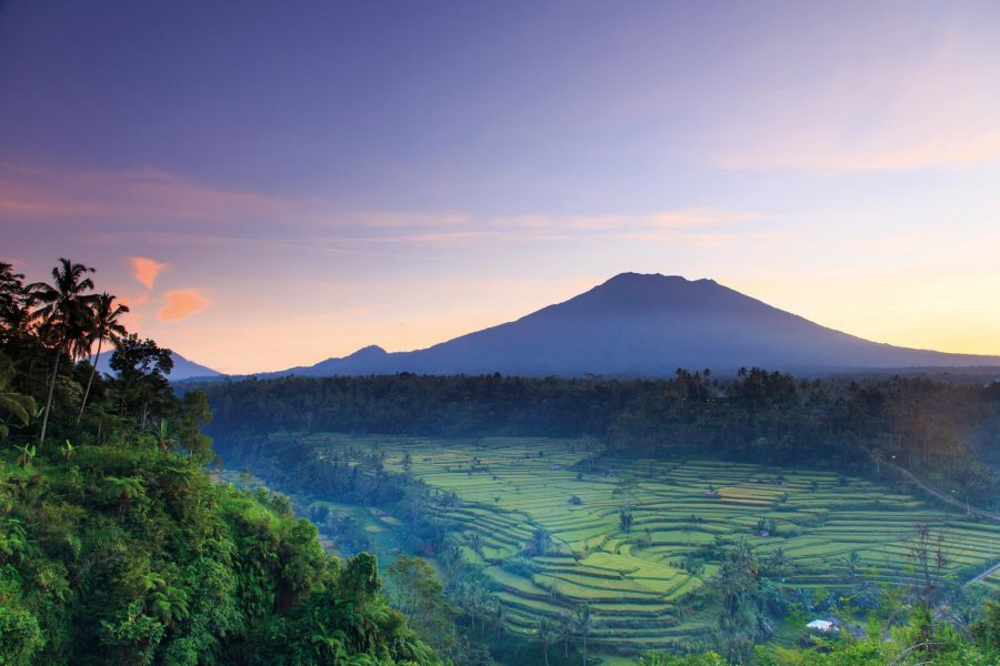
For Mark Hoey, Cathay’s general manager operations, volcanoes are a frequent consideration. ‘The amount of seismic activity in the past 18 months has increased,’ he says. ‘Volcanoes have affected our operations pretty much every day over the past year, Bali and Indonesia most recently.’
That has meant adding fuel for anything between an extra few minutes to an hour of flying, and rerouting flights around ash clouds on hundreds of flights over the past few years.
So what’s the issue? While most of the pyrotechnics, quakes and lava flows are ground based, it’s what gets thrown up into the air that causes a problem to aviation. Back in 1982 – and this story has a happy ending – BA9, a British Airways Boeing 747, unwittingly flew into a volcanic ash cloud near Indonesia at night and lost power in all four engines, which were eventually restarted for a safe landing after a white-knuckle glide and a sandblasting of the cockpit windows.
The lesson was evident: stay well clear of volcanoes and ash clouds. Fast forward to 2010, and the eruption of cut-and-paste favourite Eyjafjallajökull in Iceland saw millions of tonnes of ash pumped into the atmosphere and aviation grounded across most of Europe as the significant ash cloud drifted southeast across the Atlantic.
Hoey says: ‘What BA9 taught us was that volcanic ash can make a real mess of jet engines. What we learned from detailed research and new technology after 2010 is that there are safe ways to operate perfectly well and that the exclusion zones do not have to be so big.’
Now using satellite imagery, infrared pictures, particle sensors, webcams and wind charts for all altitudes, each flight is assessed on a case-by-case basis to mitigate risk. ‘When there’s an eruption, we need to know first what we’re looking at,’ says Hoey. ‘Is it ash, steam, or just normal cloud forming over the warmth of the eruption?’
In years gone by, flights would simply be cancelled. But the data available now enables airlines to refine their decision making. ‘With the new radar imagery we plot a 96-kilometre separation from the volcano (half of what it was a few years ago),’ says Hoey. ‘Then depending on wind direction and other information we mark up lines to create fly, no-fly or “accessible only in good visual conditions” zones. Pilots can enter this information into their navigation computers and we can update them en route, too.’
Planes also take extra fuel so they can land elsewhere if conditions change. ‘That gives us more flexibility and it means even if plans change we have somewhere to land,’ says Hoey.
But if conditions are unsafe, the operation stops. ‘We cancelled a lot of flights in Bali and Indonesia last year when Mount Agung was banging away, and that’s frustrating for people. We do our best to keep things running, but it’s safety first.
‘We don’t ever make a decision on the basis of one piece of data, we use as many as we can to corroborate our plans and then we fly it – but only when we’re confident that everything’s right.’
Hero image: Michele Falzone / Digital Vision / Getty Images