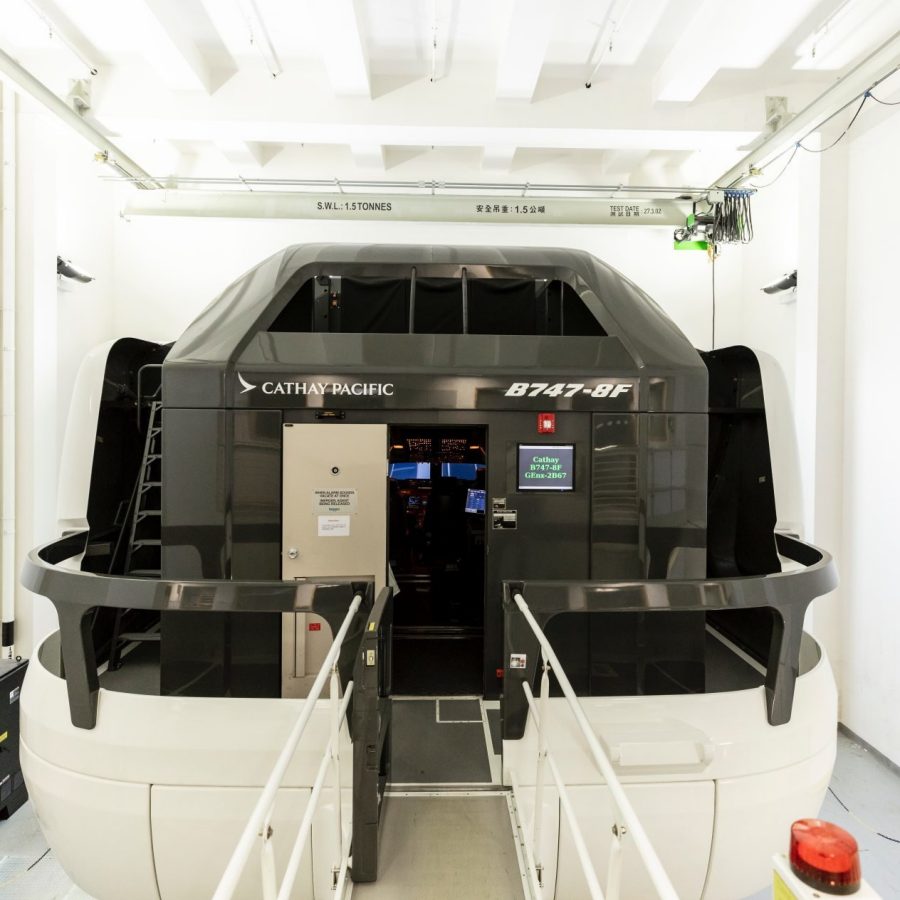
A peek inside Cathay's flight training simulators
They’re known as ‘sweatboxes’ – where newly qualified cadets learn their aircraft before taking to the skies and where serving pilots undertake bi-annual safety scenarios to maintain their licences.
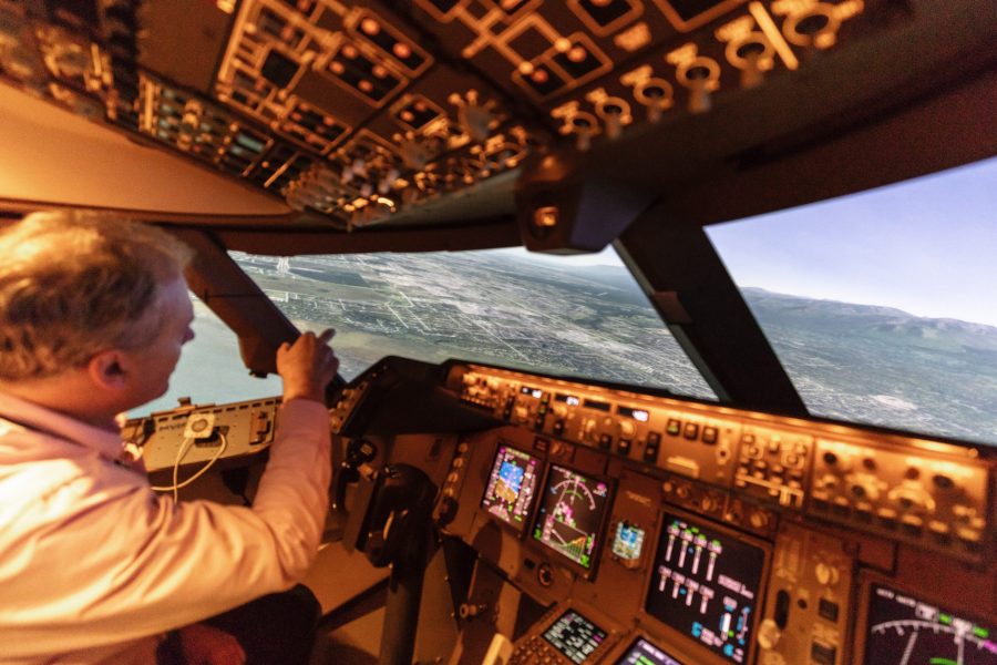
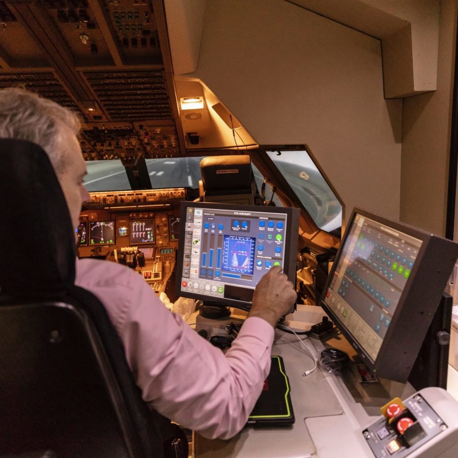
They are flight simulators, or sims; multimillion dollar pieces of technology with fully kitted-out cockpits atop hydraulic legs that add realistic motion to the incredible fidelity of the ‘window’ screens. ‘The visuals are a blend of Google Earth satellite imagery mixed with technology from video-game producers as you get close to the ground,’ explains General Manager Operations Mark Hoey.
Recently, Cathay Pacific used the Boeing 747-8F flight simulators to become the first overseas airline to get a computerised approach approved by the US Federal Aviation Authority (FAA). But why was this special achievement necessary?
Cathay Pacific operates a fleet of 20 747 freighters. One of their trunk routes is across the Pacific, to a network across the Americas, which requires a fuelling stop in Anchorage, Alaska.
Credit: Mike Pickles
Surrounded by snow-capped mountains and beset with challenging weather, especially in winter, Ted Stevens Anchorage International Airport has three runways that are fitted with instrument guidance for an automated ‘instrument approach’.
That is, except when the wind blows from the west. ‘There is no instrument guidance to the westerly runways 25L and 25R – it is a wholly visual approach,’ explains Hoey. ‘This means there is no data that can be entered into the flight management computer, so the aircraft must be flown manually using visual references – not always ideal given Alaska’s weather.’
So Cathay Pacific started work on a computerised approach to satisfy the risk and environmental concerns. It had to mimic the performance of the aircraft in terms of turn radius and speed – in three dimensions – plus all the ground considerations. The process took a good year or so to refine, and the flight simulators were the testbed for each iteration of the data before a real-world test.
Hoey is in the flight simulator, putting the approach through its paces. Every aspect from aircraft weight – we’re flying at 320 tonnes – to wind and weather can be controlled from the master panel.
Credit: Mike Pickles
‘Today is a lovely clear day – blue skies, which is what Anchorage can be like in summer,’ Hoey says. We’re waiting at the end of the runway to take off to a point some 5,000 feet above the icy waters of Cook Inlet, where air traffic control at Anchorage vectors aircraft to start their final approach.
Hoey pushes the four throttle levers forward, and we start to thunder down the virtual runway as the sound of four engines increase in pitch. Within minutes, we have a view of 5,000 feet above Cook Inlet and are ready to begin the approach.
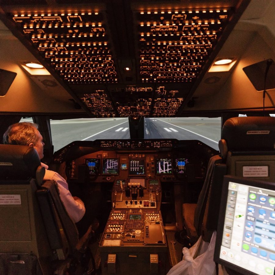
‘We start over Cook Inlet heading for the mountain range straight ahead, and we make our descent with the airport on our left,’ says Hoey. The airport is highly visible through the ‘windows’, as the intensity of its lights were turned up using the flight simulator’s control panel.
While descending, we make a left turn and fly below the peaks of the mountains. About five miles from them, we turn away and keep the mountain range on our right. Then it’s on to the next visible landmark, the Seward Highway. ‘It’s as if the right wing flies down the highway,’ says Hoey.
Credit: Mike Pickles
We keep in close and pass over an industrial zone in the city. ‘It’s really cool as it’s a curved approach all the way in,’ says Hoey. ‘We go wings level at only 800 feet for 25L and at just 400 feet for 25R, where we’re landing now because the runways are staggered. Then we switch off the autopilot and make a visual and manual landing from that point.’
The sim calls out the altitude. At ‘500!’ we’re still in the final left turn that starts at 1,000 feet. As the wings straighten, we hear ‘400!’, and there’s the runway. ‘Once the wings are level, we train the crew to assess the situation, and if it’s good they disconnect the autopilot and land straight ahead,’ says Hoey.
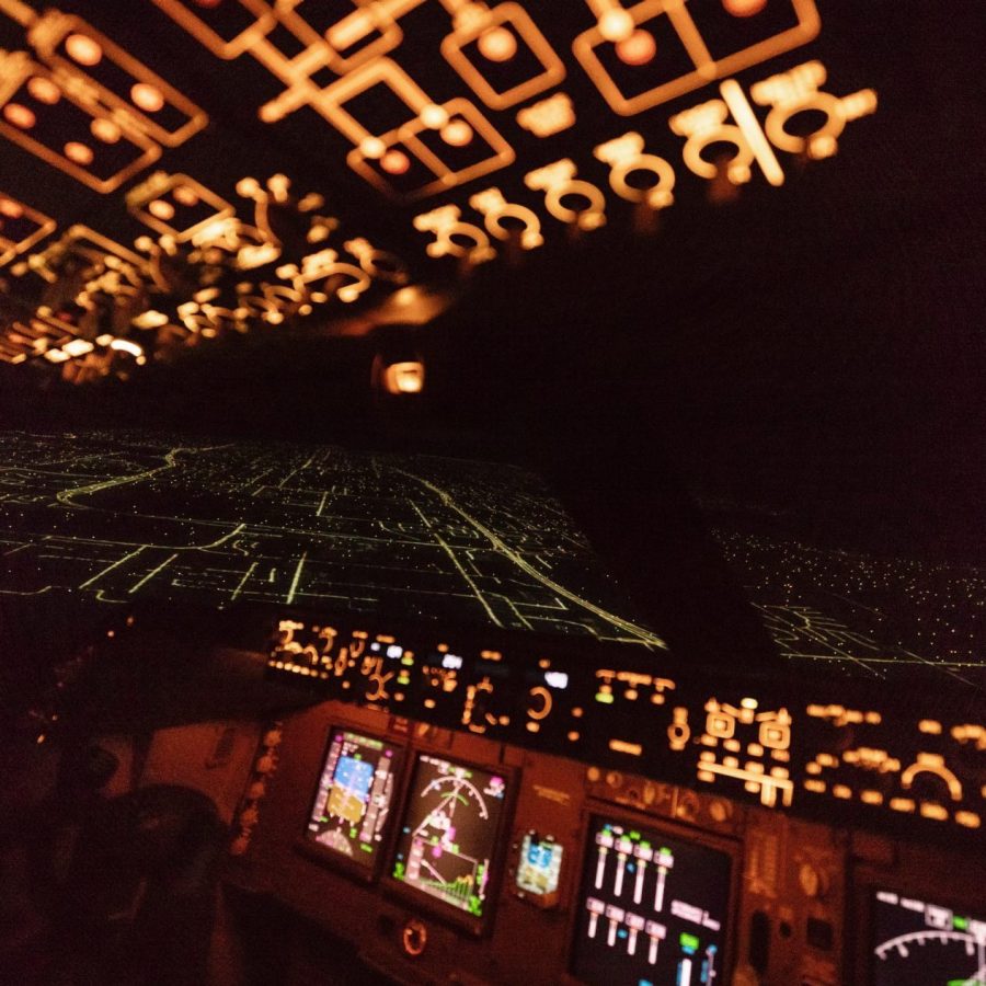
He disconnects the autopilot, which causes a siren to briefly sound, and then he pushes the throttles forward. We start climbing again and return to the starting point of the approach. Once back in position, Hoey goes to the control console to turn day into night. The mountainous terrain becomes invisible to the eye, and there are very few lights as we look to where the instruments indicate the mountains are.
‘Say it’s nighttime and there’s low cloud cover at 3,000 feet – you have to navigate and interpret things visually,’ says Hoey. ‘That’s a big ask at the end of a long flight, and if the winds are from the west they’re quite strong, so you could be bouncing around as well.’
Credit: Mike Pickles
Despite the change in conditions, the sim locks into the approach again, and soon we turn towards the lights of the runway. The computer calls out ‘1,000’, then ‘500.’ The wings are level, and after hearing ‘400’, Hoey says: ‘I disconnect the autopilot, and I’m now manually flying the aircraft.’
The computer continues to count down the altitude – ‘50, 40, 30, 20, 10’ – and then the sim touches down softly. ‘The beauty of this approach is that it’s repeatable again and again, and the aircraft is always perfectly aligned for the pilots to take over,’ says Hoey.
And after a year of testing? ‘The landing is perfect, every time’, he says.
Hero image: Mike Pickles